GxBase
TextChart uses GxBase to retrieve names and geocoordinates for the places that it finds in documents in your corpora. The standard GxBase includes the National Geospatial Agency's (NGA) GNS, the United States Geological Survey's (USGS) GNIS, and i2's own internally developed gazetteer to provide worldwide coverage.
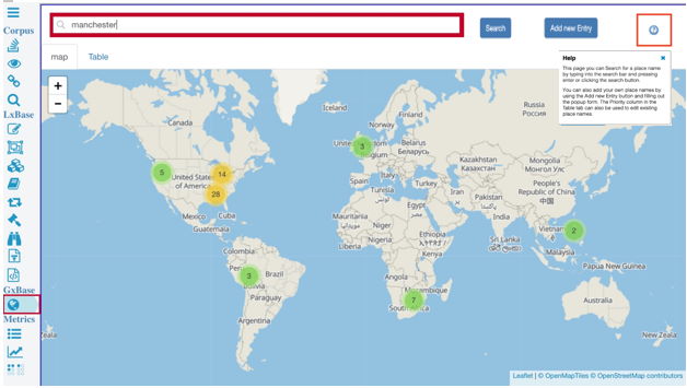
In TextChart Studio, you can search a GxBase, customize it, and add features that are specific to your domain. To begin, click GxBase in the GxBase section of the vertical toolbar..
Searching for places
To search for a place in GxBase, type its name into the search bar and press Enter. All instances of the name that exist in the gazetteer are shown on the map, and you can zoom in and out as you need.

Adding a place name
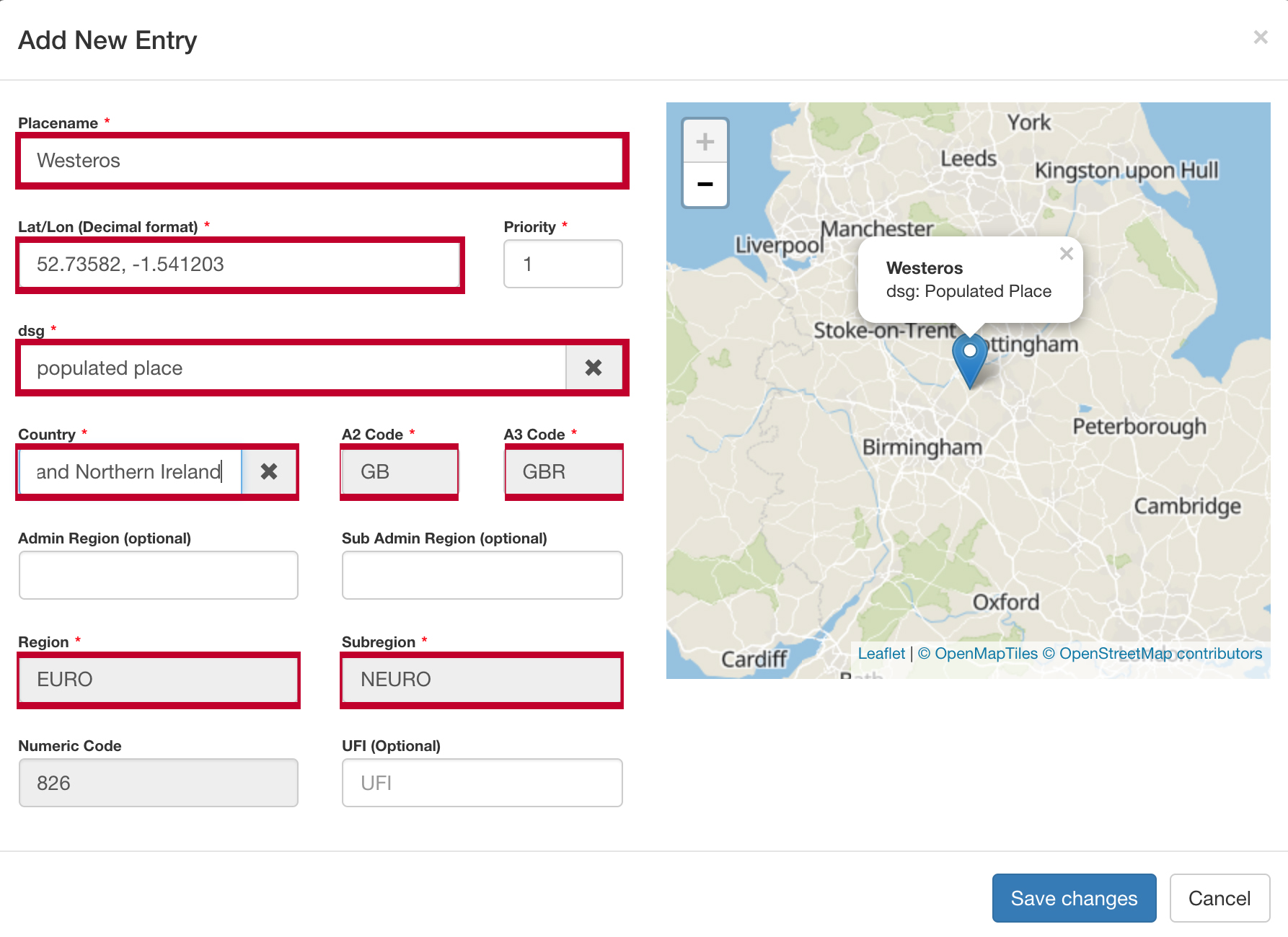
To add a place to GxBase, type its name ito the search bar and click Add new Entry to display the And New Entry dialog. Complete the required information, and then click Save changes.

After you add the new place, you can open the Table tab to search for and view the entry for it in GxBase. To make adjustments, click the button in the Priority column.

Importing and exporting GxBases
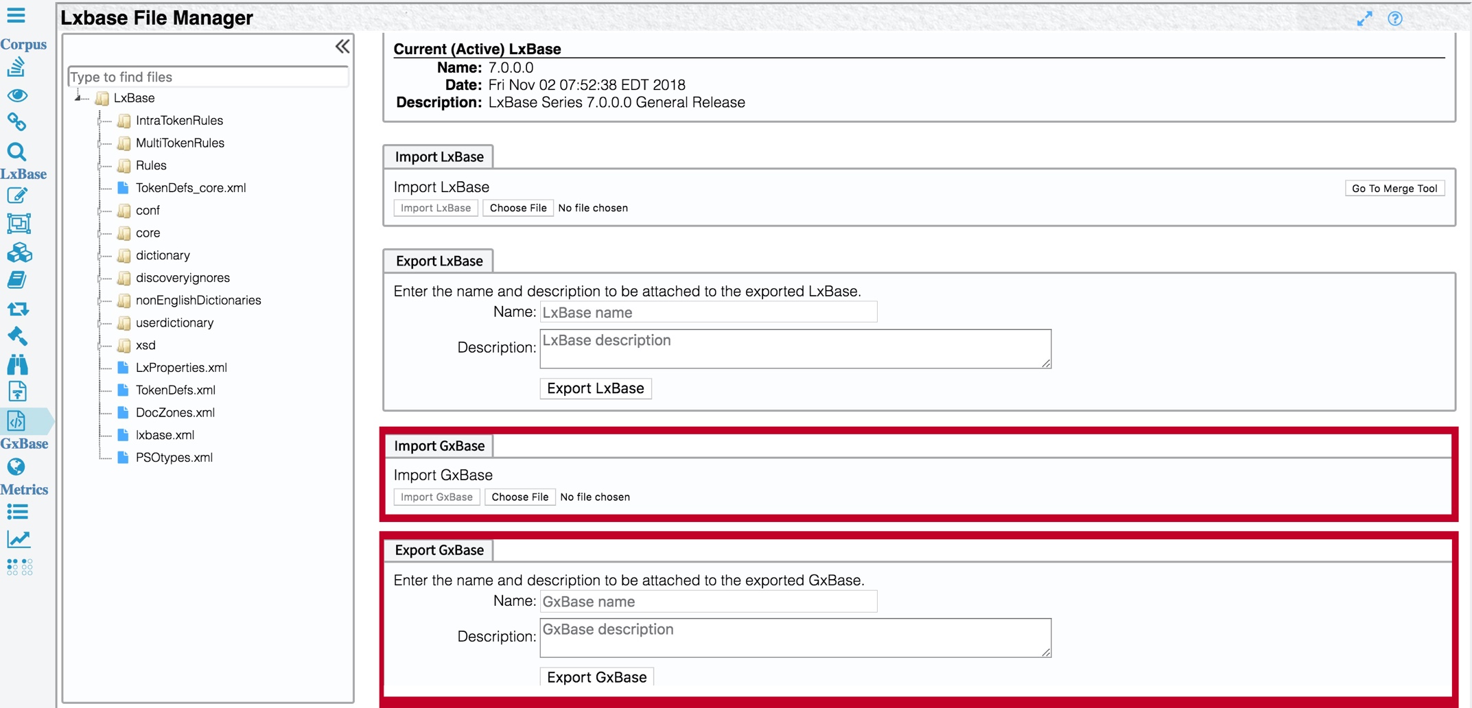
You can import and export customized GxBases through the same interface that you use to import and export LxBases. Open the LxBase File Manager page by clicking Manage LxBase Files in the LxBase section of the vertical toolbar, and use the Import GxBase and Export GxBase panels according to your needs.
